Our Heritage
The South Pennines is home to villages, parks, buildings, canals and attractions steeped in culture, history and heritage.
The South Pennines: location and history
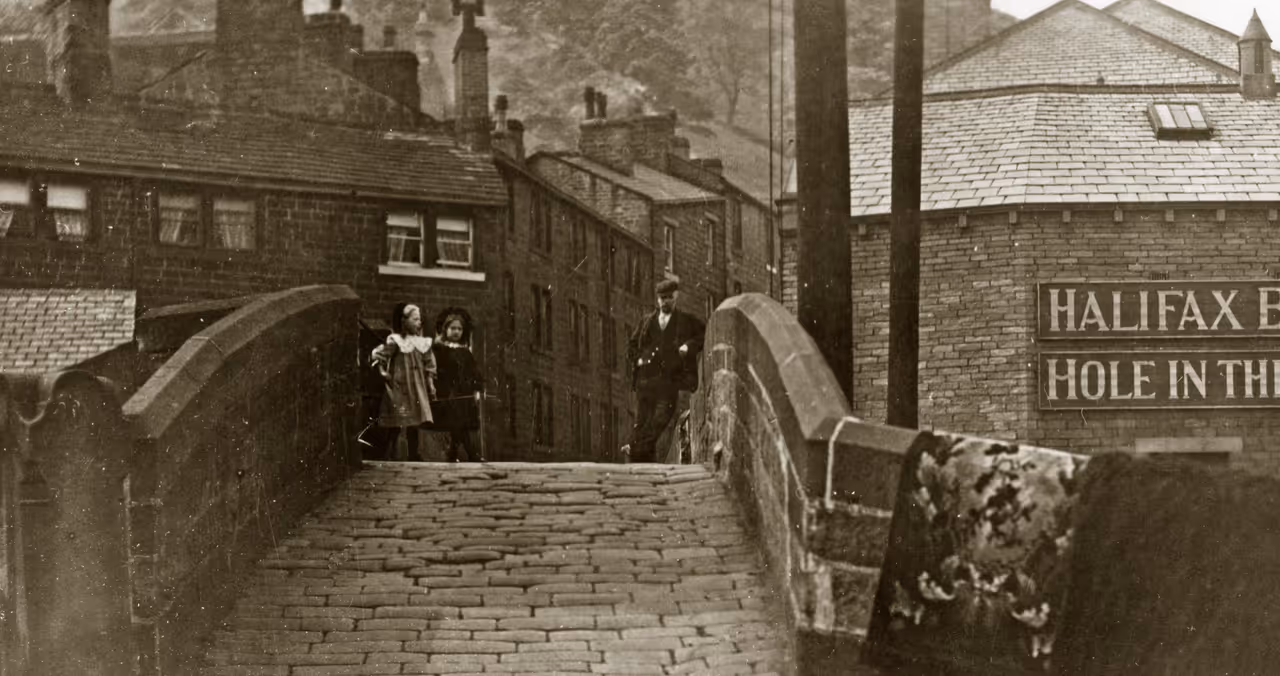
The unique character of the South Pennines results from the close interplay between its dramatic landscape and the rich built heritage of sturdy stone mills in the valleys and domestic terraces lining the hillside contours.
The South Pennines extends from East Lancashire across West Yorkshire to the fringes of Greater Manchester and the Peak District in the south, often defined as the upland area located between the Yorkshire Dales National Park and the Peak District National Park. The South Pennines encompasses Bacup, Greenfield, Littleborough and Rawtenstall, while Yorkshire towns include Hebden Bridge, Todmorden, Marsden, Keighley, Haworth and Baildon.
Steeped in history, the South Pennines is renowned for its lush green hills, its mill-towns and industrialism. It was also home to a number of artists, including poet and writer Ted Hughes, the Brontes and Barbara Hepworth.
The South Pennines Park
We’re proud to partner with The South Pennines Park, a ‘Park with A Difference’, situated between the Peak District, Yorkshire Dales, Greater Manchester and West Yorkshire. It is England’s largest non-statutory upland landscape that is not designated an Area of Outstanding Natural Beauty (AONB) or National Park.
The Park is a collaboration led by The South Pennines Park organisation between public, private and third sector organisations. It is part of the Pennine ridge of hills, stretching between the Peak District and the Yorkshire Dales National Park, covering 460 square miles of stunning uplands, the South Pennines Park combines lush green hills, heather, drystone walls with fringes of towns and cities that are steeped in history.
E-trails
The South Pennines are a combination of unique landscape & industrial heritage. The area has long been a favoured resort for walkers & historians.
Pennine Horizons e-Trails are different from traditional walking guides – they give you the opportunity to download images and spoken descriptions of some of the highlights of the walk as well as having an accompanying printed guide.
The e-Trails Mobile Apps, contain a map, walk directions, audio commentaries & historical photographs which can be downloaded to a phone or tablet. They include stories of local events & people as well as information about the awe-inspiring ecology & outstanding industrial and political heritage of the area.
Printed Route Guides are also available to support the App, and can be purchased from the Birchcliffe Centre front desk.
Latest News
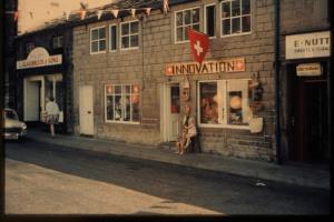
Swiss Week in Hebden Bridge: A Forgetten Celebration of Yorkshire's "Little Switzerland"
Volunteer Ella has written about a little-known part of our local history, Swiss Week!
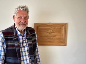
Hall named after David Fletcher
Ceremony to inaugurate David Fletcher Hall.
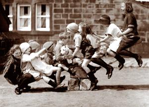
Pennine Stories
Browse our digital archive and select images to bring history to life!